Comparative Assessment of Multimodal Earth Observation Data for Soil Moisture Estimation
Accurate soil moisture (SM) estimation is critical for precision agriculture, water resources management and climate monitoring. Yet, existing satellite SM products are too coarse (>1km) for farm-level applications. We present a high-resolution (10m) SM estimation framework for vegetated areas across Europe, combining Sentinel-1 SAR, Sentinel-2 optical imagery and ERA-5 reanalysis data through machine learning. Using 113 International Soil Moisture Network (ISMN) stations spanning diverse vegetated areas, we compare modality combinations with temporal parameterizations, using spatial cross-validation, to ensure geographic generalization. We also evaluate whether foundation model embeddings from IBM-NASA’s Prithvi model improve upon traditional hand-crafted spectral features. Results demonstrate that hybrid temporal matching - Sentinel-2 current-day acquisitions with Sentinel-1 descending orbit - achieves R^2=0.514, with 10-day ERA5 lookback window improving performance to R^2=0.518. Foundation model (Prithvi) embeddings provide negligible improvement over hand-crafted features (R^2=0.515 vs. 0.514), indicating traditional feature engineering remains highly competitive for sparse-data regression tasks. Our findings suggest that domain-specific spectral indices combined with tree-based ensemble methods offer a practical and computationally efficient solution for operational pan-European field-scale soil moisture monitoring.
💡 Research Summary
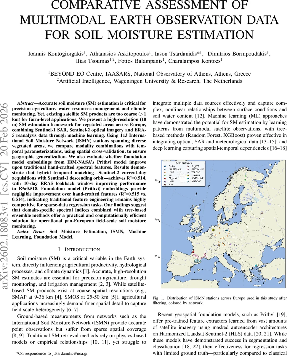
This paper addresses the pressing need for field‑scale (≈10 m) soil moisture (SM) information across Europe, a resolution far finer than that offered by existing satellite products such as SMAP or SMOS (>1 km). The authors develop a multimodal machine‑learning framework that fuses Sentinel‑1 C‑band SAR (VV and VH backscatter), Sentinel‑2 multispectral optical imagery, and ERA5 reanalysis meteorological variables to predict volumetric SM at 5 cm depth. Ground truth consists of daily measurements from 113 International Soil Moisture Network (ISMN) stations collected between 2019 and 2025, limited to vegetated land covers and spatially de‑clustered to avoid station proximity bias.
Data preprocessing involves extracting 256 × 256 pixel (10 m) patches centered on each station, discarding Sentinel‑2 scenes with >20 % cloud cover, and computing four vegetation/moisture indices (NDVI, NDWI, NDMI, MSI). SAR features include VV, VH backscatter and the VH/VV ratio, with first‑order temporal differences added for all spectral variables. ERA5 variables (precipitation, temperature, evapotranspiration, soil water content, etc.) are aggregated over configurable look‑back windows ranging from 0 to 20 days.
The modeling core is a Random Forest regressor trained with default hyper‑parameters, evaluated using a spatially aware 5‑fold cross‑validation where folds are defined at the station level to prevent spatial leakage. Three systematic experiments are conducted:
-
Modality and Temporal Matching (E1) – The authors test all combinations of Sentinel‑2 (current‑day vs. nearest within ±10 days), Sentinel‑1 (ascending, descending, or both orbits), and the inclusion of ERA5. The best configuration pairs current‑day Sentinel‑2 with the nearest descending‑orbit Sentinel‑1 acquisition, yielding R² = 0.514, RMSE = 0.078 m³/m³, and MAE = 0.060 m³/m³. Descending SAR consistently outperforms ascending, likely because morning overpasses capture stronger surface moisture contrasts. Adding SAR to optical data improves performance by 1–2 % relative to optical alone, confirming complementary information.
-
ERA5 Temporal Window (E2) – Using the optimal E1 configuration, the authors sweep the ERA5 look‑back window. A 10‑day window achieves the highest skill (R² = 0.5185, MAE = 0.059 m³/m³, RMSE = 0.079 m³/m³). Performance plateaus around 16 days, indicating that both recent precipitation and longer‑term atmospheric conditions influence the shallow (5 cm) SM measurements across diverse European climates.
-
Feature Representation (E3) – The study evaluates embeddings from the IBM‑NASA Prithvi foundation model (768‑dimensional vectors extracted from 224 × 224 pixel Sentinel‑2 patches) against traditional hand‑crafted indices. Prithvi‑only models achieve R² ≈ 0.509, comparable to the baseline optical‑SAR model (R² = 0.514). Combining Prithvi embeddings with SAR yields R² = 0.514, and adding hand‑crafted indices raises it marginally to R² = 0.515—a gain of only 0.2 %. The limited improvement is attributed to the small training set (113 stations), potential dilution of the signal when averaging embeddings over large patches, and domain mismatch between the HLS data used to pre‑train Prithvi and the Sentinel‑2 data employed here.
The authors conclude that (i) hybrid temporal matching—current‑day optical with nearest descending SAR—is essential for optimal SM retrieval, (ii) a 10‑day ERA5 integration window captures the most relevant meteorological drivers, and (iii) traditional domain‑specific spectral indices combined with tree‑based ensembles remain highly competitive against state‑of‑the‑art foundation models in data‑scarce regression tasks. The proposed framework is computationally efficient, readily implementable for operational pan‑European field‑scale SM monitoring, and provides a solid baseline for future work involving larger in‑situ networks, higher‑resolution reanalysis products, or more extensive fine‑tuning of foundation models.
Comments & Academic Discussion
Loading comments...
Leave a Comment