LiDAR Remote Sensing Meets Weak Supervision: Concepts, Methods, and Perspectives
Light detection and ranging (LiDAR) remote sensing encompasses two major directions: data interpretation and parameter inversion. However, both directions rely heavily on costly and labor-intensive labeled data and field measurements, which constrains their scalability and spatiotemporal adaptability. Weakly Supervised Learning (WSL) provides a unified framework to address these limitations. This paper departs from the traditional view that treats interpretation and inversion as separate tasks and offers a systematic review of recent advances in LiDAR remote sensing from a unified WSL perspective. We cover typical WSL settings including incomplete supervision(e.g., sparse point labels), inexact supervision (e.g., scene-level tags), inaccurate supervision (e.g., noisy labels), and cross-domain supervision (e.g., domain adaptation/generalization) and corresponding techniques such as pseudo-labeling, consistency regularization, self-training, and label refinement, which collectively enable robust learning from limited and weak annotations.We further analyze LiDAR-specific challenges (e.g., irregular geometry, data sparsity, domain heterogeneity) that require tailored weak supervision, and examine how sparse LiDAR observations can guide joint learning with other remote-sensing data for continuous surface-parameter retrieval. Finally, we highlight future directions where WSL acts as a bridge between LiDAR and foundation models to leverage large-scale multimodal datasets and reduce labeling costs, while also enabling broader WSL-driven advances in generalization, open-world adaptation, and scalable LiDAR remote sensing.
💡 Research Summary
This paper presents a unified perspective on LiDAR remote sensing, treating the modality simultaneously as a data source that requires interpretation and as a sparse supervisory signal for large‑scale parameter inversion. The authors argue that both branches traditionally depend on extensive, high‑quality annotations and field measurements, which are costly, time‑consuming, and often infeasible at the spatial‑temporal scales demanded by modern Earth observation. To address these bottlenecks, the survey positions Weakly Supervised Learning (WSL) as a comprehensive framework that can exploit limited, noisy, coarse‑grained, or domain‑shifted supervision.
The review first outlines the specific challenges of LiDAR data: irregular geometry, non‑uniform point density, platform‑induced domain shifts (e.g., space‑borne GEDI vs. airborne ALS), and the inherent sparsity of physically grounded observations. It then details the deep‑learning architectures that have been tailored to such data, including point‑based networks (PointNet/PointNet++), graph‑based models (DGCNN), kernel‑convolutional approaches (KP‑Conv, RandLA‑Net), voxel‑based sparse CNNs, and recent transformer‑style point transformers. These models form the backbone for both fully supervised and weakly supervised pipelines.
WSL is categorized into four principal settings: (1) incomplete supervision (only a subset of points labeled), (2) inexact supervision (coarse scene‑level tags), (3) inaccurate supervision (noisy or uncertain labels), and (4) cross‑domain supervision (domain adaptation or generalization). For each setting, the paper surveys the most effective techniques: pseudo‑label generation, consistency regularization, self‑training, label refinement, feature alignment, and adversarial domain adaptation. The authors illustrate how these methods have been applied to classic LiDAR interpretation tasks such as semantic segmentation, instance segmentation, and 3D reconstruction, enabling models to learn from a handful of annotated points or from noisy crowdsourced tags.
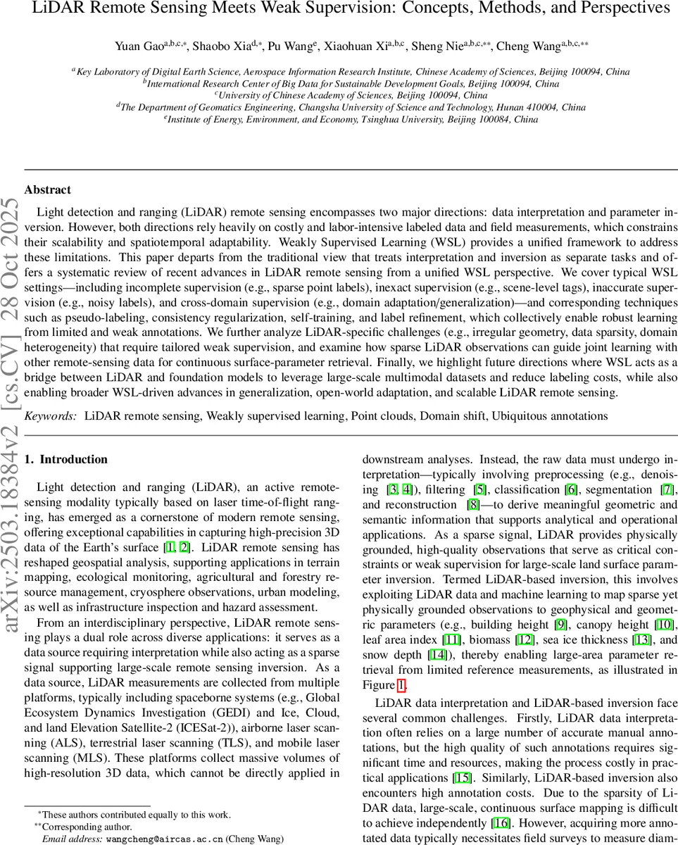
In the inversion domain, LiDAR measurements are treated as sparse but physically reliable anchors that guide dense mapping of biophysical parameters (e.g., canopy height, leaf area index, biomass, building height, sea‑ice thickness, snow depth). By fusing dense optical or SAR imagery with the sparse LiDAR observations, weakly supervised networks can learn a sparse‑to‑dense mapping, dramatically reducing the need for exhaustive field inventories. The survey highlights recent works that combine self‑training with multi‑modal feature fusion, as well as approaches that employ domain‑generalization strategies to transfer models trained on one geographic region or sensor platform to unseen areas.
A critical contribution of the paper is its systematic comparison of existing LiDAR‑WSL literature, revealing that most prior surveys either focus exclusively on point‑cloud processing in indoor or autonomous‑driving contexts, or discuss only fully supervised methods. This work fills the gap by integrating interpretation and inversion under a single weak‑supervision lens, and by emphasizing LiDAR‑specific constraints that demand bespoke solutions.
Looking forward, the authors propose several promising research directions. First, the design of WSL techniques that explicitly model LiDAR’s irregularity and sparsity (e.g., geometry‑aware consistency losses). Second, leveraging foundation models trained on massive multimodal datasets to provide zero‑shot or few‑shot supervision for LiDAR tasks, thereby cutting annotation costs further. Third, developing open‑world and continual‑learning frameworks that can adapt to evolving land‑cover classes and sensor characteristics without catastrophic forgetting. Fourth, building efficient, lightweight pipelines suitable for real‑time or edge deployment in field campaigns.
In conclusion, the paper argues that weakly supervised learning is not merely an alternative to fully supervised training but a necessary paradigm shift for scalable, robust, and generalizable LiDAR remote sensing. By unifying interpretation and inversion under WSL, the community can unlock the full potential of existing and forthcoming LiDAR missions while minimizing the reliance on costly ground truth data.
Comments & Academic Discussion
Loading comments...
Leave a Comment