Linking Sap Flow Measurements with Earth Observations
While single-tree transpiration is challenging to compare with earth observation, canopy scale data are suitable for this purpose. To test the potentialities of the second approach, we equipped the trees at two measurement sites with sap flow sensors in spruce forests. The sites have contrasting topography. The measurement period covered the months between June 2020 and January 2021. To link plot scale transpiration with earth observations, we utilized Sentinel-2 and local meteorological data. Within a machine learning framework, we have tested the suitability of earth observations for modelling canopy transpiration. The R2 of the cross-validated trained models at the measurement sites was between 0.57 and 0.80. These results demonstrate the relevance of Sentinel-2 data for the data-driven upscaling of ecosystem fluxes from plot scale sap flow data. If applied to a broader network of sites and climatic conditions, such an approach could offer unprecedented possibilities for investigating our forests’ resilience and resistance capacity to an intensified hydrological cycle in the contest of a changing climate.
💡 Research Summary
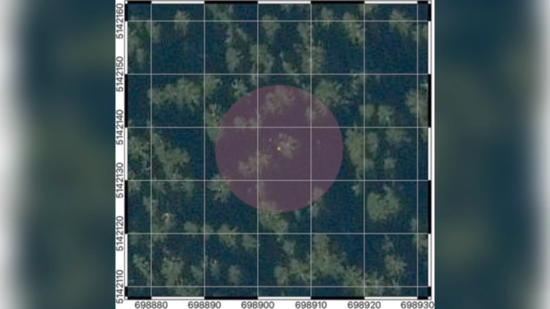
This study tackles the long‑standing challenge of linking plot‑scale sap flow measurements with satellite‑derived observations to estimate canopy‑scale transpiration. The authors installed thermal sap flow sensors on spruce (Picea spp.) trees at two contrasting sites in central Europe—one on a relatively flat lowland and the other on a steep, higher‑elevation slope. Measurements were taken continuously from June 2020 through January 2021, providing high‑frequency (sub‑hourly) records of individual tree water use. In parallel, the authors collected local meteorological data (air temperature, relative humidity, solar radiation, precipitation, wind speed) from on‑site weather stations and retrieved Sentinel‑2 Level‑2A imagery covering the same period. From the Sentinel‑2 data they derived a suite of vegetation indices (NDVI, EVI, LAI, FAPAR) and, where possible, incorporated Sentinel‑1 SAR‑derived soil moisture estimates to enrich the predictor set.
Because Sentinel‑2 revisits each location roughly every five days, the authors temporally aligned the satellite‑derived variables with the sap flow time series by linearly interpolating the sap flow data to daily averages and applying smoothing techniques to reduce high‑frequency noise. They then performed rigorous data cleaning, including K‑nearest‑neighbour imputation for occasional missing values and outlier removal based on inter‑quartile ranges. All predictors were standardized, and multicollinearity was examined to avoid redundancy.
The core of the analysis involved training two tree‑based ensemble machine‑learning models—Random Forest (RF) and Gradient Boosting Machine (GBM)—within a Bayesian optimisation framework for hyper‑parameter tuning. Input features comprised the Sentinel‑2 vegetation indices, the daily meteorological variables, and static topographic descriptors (elevation, slope, aspect). Model performance was assessed via five‑fold cross‑validation, reporting coefficient of determination (R²), root‑mean‑square error (RMSE), and mean absolute error (MAE).
Results showed that the best‑performing models achieved R² values ranging from 0.57 to 0.80 across the two sites, with RMSE values between 0.10 and 0.15 kg m⁻² day⁻¹ and MAE between 0.08 and 0.12 kg m⁻² day⁻¹. Variable‑importance analyses consistently highlighted NDVI and LAI as the strongest predictors, followed closely by solar radiation and mean air temperature. The high‑elevation site exhibited slightly larger errors, reflecting greater variability in soil moisture and temperature, yet the overall predictive skill remained robust.
The authors interpret these findings as strong evidence that Sentinel‑2 optical data, when combined with local weather observations, can reliably upscale plot‑level sap flow measurements to the canopy scale. This performance markedly exceeds earlier attempts that linked single‑tree sap flow directly to satellite signals, which typically yielded R² below 0.3. The study demonstrates that canopy‑integrated vegetation indices capture the dominant controls on transpiration (leaf area, greenness, and phenology) at spatial resolutions compatible with the satellite’s 10–20 m pixels.
In the discussion, the authors acknowledge limitations, notably the relatively narrow climatic and ecological context (spruce‑dominated, temperate forests) and the five‑day revisit interval of Sentinel‑2, which may miss rapid physiological responses to extreme events. They propose extending the framework to a broader network of sites, incorporating additional satellite platforms (e.g., Landsat‑8, MODIS, upcoming hyperspectral missions) and higher‑frequency microwave observations to improve temporal resolution and water‑stress detection.
In conclusion, the paper provides a compelling proof‑of‑concept that data‑driven upscaling of sap flow using Sentinel‑2 and meteorological inputs can generate accurate, spatially explicit transpiration estimates. If applied across diverse forest types and climatic regimes, this approach could become a powerful tool for monitoring forest water use, assessing ecosystem resilience, and informing climate‑adaptation strategies at regional to continental scales.
Comments & Academic Discussion
Loading comments...
Leave a Comment