Flood zones detection using a runoff model built on Hexagonal shape based cellular automata
This article presents a 3D geographic information systems (GIS) modeling and simulation of water flow in a landscape defined by a digital terrain model, provided by some available geolocation APIs. The proposed approach uses a cellular automata based algorithm to calculate water flow dynamic. The methodology was tested on a case study area of 27kmx19km located in Tangier, north of Morocco. In fact, we aim to detect flood zones in order to prevent problems related to space occupation in urban and rural regions. Some indices can be deduced from the stream shape using Cellular Automata (CA) based approach that can reduce the complexity related to space structures with multiple changes. A spatiotemporal simulation of the runoff process is provided using 3D visualization that we can pair with geographical information system tools (GIS). The 3D GIS modeling approach that was developed for the analyses of flood zones detection using a runoff model based on cellular automata was comprised of three main steps: Input (collection of data), calculation (CA tool) and visualization (3D simulation).
💡 Research Summary
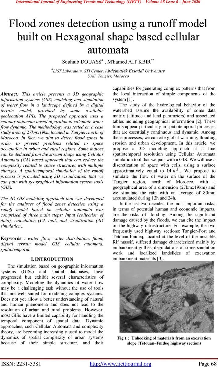
The paper presents a three‑dimensional geographic information system (GIS) framework that couples a digital terrain model (DTM) with a cellular automaton (CA) based runoff model to detect flood‑prone zones. The authors first acquire elevation data for a 27 km × 19 km area in Tangier, northern Morocco, using the Google Maps Elevation API. The terrain is discretized into a regular hexagonal grid, each cell covering a 4 m × 4 m area (hexagon edge length ≈ 4.61 m). Hexagonal cells are chosen over traditional square cells because all six neighbors are equidistant and share edges, eliminating distance anisotropy and diagonal‑corner ambiguities that can distort water‑flow calculations.
The CA model operates on “basic partitions,” which are groups of adjacent hexagonal cells. Within each partition, cells are sorted by elevation. The total water volume present in the partition (W) is divided by the cell area to obtain a water depth per unit area. An equilibrium surface water height (H) is computed assuming the water drains to the lowest possible cells. The number of cells that remain wet after drainage (k) is identified, and the water depth for each cell (h_i) is updated accordingly. This rule set is applied iteratively with a time step of 10 seconds; at each step the order of cell updates is randomized to avoid synchronization artifacts.
The simulation scenario assumes an average rainfall of 80 mm accumulated over 12 hours, 24 hours, and an additional 4‑hour equilibration period. Each cell receives an incremental water volume of 1.1 × 10⁻³ m³ per hour. The authors implement the model in a WebGL‑based 3D visualization environment, enabling interactive inspection of water depth through color coding and terrain deformation.
Results show that after 12 hours of rain, water begins to accumulate in low‑lying areas. After 24 hours, two zones—“Moghora” and “Aouama”—emerge as high‑risk flood zones, with maximum water depths of approximately 4.8 m and 3 m respectively. An additional 4‑hour equilibration phase demonstrates partial redistribution of water but leaves the same zones vulnerable. Statistical analysis of the 2,103 cells yields a mean water depth of 0.028 m, a standard deviation of 0.174 m, a minimum of 0 m, and a maximum of 4.818 m, with a total water volume of about 597.9 m³. These figures align with known flood events in the region, suggesting that the model captures essential hydrological dynamics.
The study highlights several contributions: (1) the use of a hexagonal CA grid to achieve isotropic neighbor interactions; (2) integration of real‑world elevation data via public APIs; (3) a WebGL‑driven 3‑D GIS interface for spatiotemporal visualization; and (4) a quantitative assessment of flood risk that can inform urban planning and emergency response. However, the authors acknowledge limitations, notably the exclusion of soil permeability, vegetation cover, land‑use characteristics, and temporal variability of rainfall intensity from the transition rules. Validation against field measurements is also limited.
Future work aims to enrich the CA transition rules with additional environmental parameters, incorporate multi‑scale modeling (micro, meso, macro), and extend the platform to other environmental processes such as air pollution dispersion and soil erosion. By doing so, the authors envision a versatile decision‑support tool that leverages hexagonal cellular automata and GIS for a broad range of spatially distributed natural phenomena.
Comments & Academic Discussion
Loading comments...
Leave a Comment