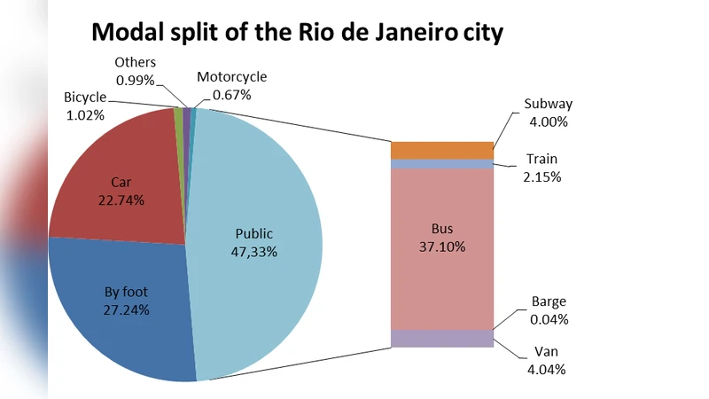
Bus transport network analysis in Rio de Janeiro based on topological models using Social Networks
In recent years, studies on public transport networks have intensified in the Social Networks field, especially in bus networks. This has occurred because of the relevance of urban mobility for the proper functioning of a city. The Rio de Janeiro city, Brazil, has undergone recent changes in the city of Rio de Janeiro, Brazil, has undergone recent changes in its municipal bus system, modifying several lines and bus stops. This paper proposes to analyze the structure of the bus transportation network of this city, comparing its topology in 2014 and 2016, before and after the change. For this, the properties of the bus system were investigated based on the topological models B-space, P-space, and C-space. Some essential parameters were calculated, such as the giant component, distance, diameter, degree, closeness, and betweenness. The results showed that there was a reduction of 22.75% of the lines and 5.19% of the bus stops from 2014 to 2016. It was also verified that a maximum of four lines is required to move between any two bus stops within the city in both years. However, with three lines is possible to reach more than 99% of the bus stops. Besides, this study also suggests exploring the C-space network according to a minimum number of frequent bus stops that the lines had. Based on the component giant analysis of these networks with many common points, it is possible to detect possible expressway corridors.
💡 Research Summary
This paper conducts a comprehensive topological analysis of Rio de Janeiro’s municipal bus system, focusing on the structural changes that occurred between 2014 and 2016. The authors adopt three well‑established network representations from the public‑transport‑network (PTN) literature—B‑space, P‑space, and C‑space—originally proposed by von Ferber et al. (2009). B‑space models the system as a bipartite graph where one partition contains bus routes and the other contains bus stops; edges exist only between a route and the stops it serves. From this bipartite structure, two one‑mode projections are derived: P‑space (stop‑stop projection) connects two stops if they share at least one common route, while C‑space (route‑route projection) connects two routes if they share at least one common stop.
Data were extracted from the city’s GTFS (General Transit Feed Specification) repository on two dates: 3 May 2014 and 29 January 2016. The raw files contain stop identifiers, geographic coordinates, route numbers, and the list of stops per route. Because the GTFS files lack a reliable sequential ordering of stops, the authors could not construct an L‑space representation (which requires ordered adjacency). After cleaning, deduplication, and integration into a relational database, the authors generated the bipartite B‑space adjacency matrix and subsequently the P‑ and C‑space projections.
The analysis proceeds by computing a suite of classic complex‑network metrics for each representation and each year: (i) size of the giant component (the largest connected subgraph), (ii) average shortest‑path distance, (iii) graph diameter, (iv) degree distribution, (v) closeness centrality, and (vi) betweenness centrality. These metrics allow the authors to quantify both the overall connectivity of the system and the relative importance of individual stops or routes.
Key findings are as follows:
-
Structural reduction – Between 2014 and 2016 the number of bus routes fell by 22.75 % (approximately 1,200 → 930 routes) and the number of stops fell by 5.19 % (≈ 9,800 → 9,300 stops). Despite this contraction, the giant component in both B‑space and P‑space still contains more than 99 % of all nodes, indicating that the network remained essentially connected.
-
High connectivity in P‑space – The average geodesic distance between any two stops in the P‑space projection is about 2.1–2.3 hops, and the diameter is only 4. Consequently, a passenger needs at most four different bus lines to travel between any pair of stops, and with three lines the system already covers more than 99 % of the stops. This demonstrates a very efficient transfer structure.
-
Centrality patterns – Stops with the highest degree and closeness are concentrated in the city centre and at major interchange stations, acting as natural hubs. Routes with high betweenness in B‑space act as “spokes” linking peripheral areas to these hubs. These nodes and edges are prime candidates for preservation or capacity upgrades in future planning.
-
Extended C‑space analysis – The classic C‑space connects routes that share at least one stop. The authors propose a generalized C‑space(k) where two routes are linked only if they share at least k common stops. By varying k they observe that for k ≥ 5 the giant component fragments, revealing a set of highly overlapping routes that form dense corridors. These corridors correspond to the Bus Rapid Transit (BRT) and Bus Rapid Service (BRS) corridors introduced during the municipal re‑organization, suggesting that C‑space(k) can be used to automatically detect expressway‑like corridors in PTNs.
-
Methodological limitations – The inability to construct an L‑space model stems from missing stop‑order information in the GTFS feeds. Moreover, inconsistencies in stop naming and coordinate precision introduce potential errors in the bipartite mapping. The authors acknowledge that these data quality issues may slightly bias degree and centrality calculations.
The paper concludes that applying social‑network‑theoretic topological models to public‑transport data yields valuable quantitative insights into how a city’s bus system evolves under policy interventions. The reduction in routes and stops did not compromise overall connectivity, and the P‑space analysis confirms that the system remains highly navigable with few transfers. The novel C‑space(k) approach offers a systematic way to identify high‑overlap route clusters, which can guide the design or reinforcement of dedicated bus corridors such as BRT. The authors suggest future work that incorporates temporal ridership data, multimodal integration (subway, tram), and dynamic network analysis to further enrich the understanding of urban mobility patterns.
Comments & Academic Discussion
Loading comments...
Leave a Comment