An landcover fuzzy logic classification by maximumlikelihood
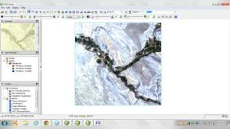
In present days remote sensing is most used application in many sectors. This remote sensing uses different images like multispectral, hyper spectral or ultra spectral. The remote sensing image classification is one of the significant method to classify image. In this state we classify the maximum likelihood classification with fuzzy logic. In this we experimenting fuzzy logic like spatial, spectral texture methods in that different sub methods to be used for image classification.
💡 Research Summary
The paper presents a novel land‑cover classification framework that integrates fuzzy logic with the classic Maximum Likelihood (ML) classifier to address the shortcomings of traditional pixel‑wise, hard‑decision approaches. The authors begin by highlighting the widespread use of remote sensing imagery—multispectral, hyperspectral, and ultra‑spectral—in various sectors and the pivotal role of image classification in extracting meaningful land‑cover information. While the ML classifier is statistically sound and easy to implement, it assumes pixel independence and forces each pixel into a single class, which leads to degraded performance in areas with ambiguous boundaries, mixed pixels, or high noise levels.
To overcome these limitations, the authors propose a fuzzy‑enhanced ML (F‑ML) method that treats class membership as a continuous degree of belief rather than a binary label. The workflow consists of several key stages:
-
Feature Extraction – For each pixel, the method extracts spectral reflectance values from all available bands and computes texture descriptors (energy, entropy, contrast, etc.) using a Gray‑Level Co‑occurrence Matrix (GLCM) over a 3×3 or 5×5 window. This results in a combined spectral‑texture feature vector that captures both radiometric and spatial characteristics.
-
Fuzzy Membership Definition – For every land‑cover class, a fuzzy membership function μc(x) is defined. The authors adopt a Gaussian‑shaped membership, μc(x)=exp