Songlines and Navigation in Wardaman and other Australian Aboriginal Cultures
We discuss the songlines and navigation of the Wardaman people, and place them in context by comparing them with corresponding practices in other Australian Aboriginal language groups, using previously unpublished information and also information drawn from the literature. Songlines are effectively oral maps of the landscape, enabling the transmission of oral navigational skills in cultures that do not have a written language. In many cases, songlines on the earth are mirrored by songlines in the sky, enabling the sky to be used as a navigational tool, both by using it as a compass, and by using it as a mnemonic
💡 Research Summary
The paper “Songlines and Navigation in Wardaman and other Australian Aboriginal Cultures” provides a comprehensive synthesis of the oral‑map tradition known as songlines, focusing on the Wardaman people while situating their practices within a broader Australian Aboriginal context. The authors combine previously unpublished material from senior Wardaman elder Bill Yidumduma Harney with an extensive review of the ethnographic and archaeological literature.
First, the authors outline the deep integration of astronomy into Aboriginal cosmology. Across many language groups, dark‑cloud formations in the Milky Way (“the Emu in the Sky”), Orion, and the Pleiades are not merely mythic symbols but encode practical knowledge of tides, eclipses, seasonal cycles, and time‑keeping. Stone arrangements such as Wurdi Youang demonstrate that precise cardinal alignments were achieved through astronomical observation.
The paper then examines directional concepts. While the Warlpiri associate north, south, east, and west with law, ceremony, language, and skin, the Wardaman attribute the creation of the four points to the Dreaming figure of the Blue‑tongued Lizard. These cardinal directions permeate daily life, dictating sleeping orientation, burial practices, and ceremonial layout.
Central to the study is the definition of songlines (or Dreaming Tracks). A songline is an epic creation song that simultaneously narrates a mythic journey, maps a terrestrial route, and transmits law. Crucially, many songlines have a sky counterpart: the “star‑songline.” When creator spirits ascended to the heavens, their terrestrial pathways were mirrored by constellations, allowing the night sky to serve as a mnemonic compass. Harney’s testimony illustrates that Wardaman travelers would follow a specific star or constellation to maintain direction and gauge time, effectively using the heavens as a portable map.
The authors present several cross‑cultural examples. The Yolngu’s Barnumbirr (Venus) song describes a coast‑to‑coast migration, the Euahlayi’s eagle‑hawk songline links central Australia to the east coast and aligns with Achernar, Canopus, and Sirius, and the Darug’s western routes correspond to present‑day highways and are corroborated by rock engravings. These routes facilitated long‑distance trade of ochre, boomerangs, and ceremonial items, and many modern highways (e.g., the Victoria Highway) trace these ancient pathways.
A critical historiographic discussion follows. Early anthropologists such as Tindale, Elkin, and Mountford noted the existence of extensive tracks but largely ignored their navigational function, treating them as mere cultural narratives. The paper argues that this oversight stemmed from disciplinary blind spots rather than the secrecy of the knowledge. By re‑examining archival records and integrating Harney’s oral accounts, the authors demonstrate that Aboriginal peoples possessed sophisticated navigation strategies based on star positions, seasonal sky changes, and memorised song sequences.
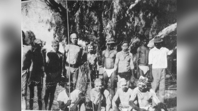
Methodologically, the study relies on verbatim transcripts of Harney’s interviews, previously unpublished photographs, and a systematic literature review. The authors deliberately preserve the original linguistic flavour of the oral material to avoid misinterpretation, while acknowledging the challenges of verifying such knowledge with contemporary scientific tools.
In conclusion, the Wardaman songline‑star system exemplifies a highly developed “oral astronomical map” that pre‑dated and, in many respects, paralleled Western cartographic and navigational technologies. The paper highlights the importance of preserving this intangible heritage, suggests its potential for inclusion in modern astronomy education, and calls for further interdisciplinary research to map the full extent of Aboriginal navigational networks across Australia.
Comments & Academic Discussion
Loading comments...
Leave a Comment