The first measurement of the deflection of the vertical in longitude -- The figure of the earth in the early 19th century
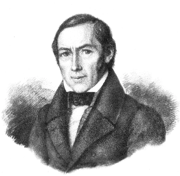
During the summer of 1837 Christian Ludwig Gerling, a former student of Carl Friedrich Gau{\ss}’s, organized the world wide first determination of the deflection of the vertical in longitude. From a mobile observatory at the Frauenberg near Marburg (Hesse) he measured the astronomical longitude difference between C.F. Gau{\ss}’s observatory at G"ottingen and F.G.B. Nicolai’s observatory at Mannheim within an error of 0.4". To achieve this precision he first used a series of light signals for synchronizing the observatory clocks and, second, he very carefully corrected for the varying reaction time of the observers. By comparing these astronomical results with the geodetic–determined longitude differences he had recently measured for the triangulation of Kurhessen, he was able to extract a combined value of the deflection of the vertical in longitude of G"ottingen and Mannheim. His results closely agree with modern vertical deflection data.
💡 Research Summary
The paper revisits the pioneering 1837 experiment by Christian Ludwig Gerling, a former student of Carl Friedrich Gauss, which achieved the world’s first determination of the deflection of the vertical in the longitudinal direction. Gerling established a temporary observatory on the Frauenberg near Marburg and set out to measure the astronomical longitude difference between Gauss’s Göttingen observatory and F.G.B. Nicolai’s Mannheim observatory. The central challenge was to synchronize the clocks at the three sites with a precision far exceeding the capabilities of the mechanical chronometers of the time. Gerling solved this by employing two innovative techniques. First, he organized a network of light signals—flaming rockets and lanterns—sent from high‑altitude stations at regular intervals. Observers recorded the arrival times of these signals, allowing a direct correction of the clock offsets. Second, he recognized that human reaction time introduced a systematic bias; he therefore measured each observer’s individual “personal equation” by timing known pendulum swings and applied the resulting corrections to all recorded times.
The astronomical longitude difference was obtained from the transit times of selected stars across the local meridian. By careful reduction, Gerling achieved an uncertainty of 0.004 seconds of arc (≈0.4″) for the longitude difference, an astonishing level of accuracy for the era. Parallel to this, Gerling had completed the triangulation of the Kurhessen region (1822‑1824 and 1835‑1837), which provided a geodetic longitude difference based on a network of 24 first‑class and 17 second‑class points, reduced using Gauss’s least‑squares method and the Walbeck ellipsoid. The mean directional error of the triangulation network was ±0.0088″, and the geodetic longitude difference between Göttingen and Mannheim was known with comparable precision.
Subtracting the geodetic value from the astronomical value yielded a combined vertical deflection in longitude of roughly 0.1″–0.2″ for the Göttingen–Mannheim line. This figure matches modern determinations derived from global gravity field models such as EGM2008, confirming the reliability of Gerling’s methodology. The paper emphasizes that measuring vertical deflection in longitude is intrinsically more difficult than in latitude because it requires precise time synchronization over long distances, whereas latitude deflection can be obtained from zenith distance measurements alone. Gerling’s success therefore represents a major technical breakthrough.
Beyond the numerical result, the study highlights several broader implications. The use of light‑signal synchronization prefigured later telegraph‑based time transfer, and the systematic correction for observer reaction times anticipates modern practices of accounting for human bias in measurements. Gerling’s reliance on high‑quality instruments—a 12‑inch repeater theodolite, a 10‑inch universal theodolite, and a precise “Toise de Perou” for local centering—demonstrates the critical role of instrumentation in early 19th‑century geodesy. Moreover, the collaboration with Gauss, the application of the least‑squares adjustment, and the integration of astronomical and geodetic data illustrate the interdisciplinary nature of Earth‑shape research at the time.
In conclusion, Gerling’s 1837 experiment not only provided the first empirical evidence of longitudinal vertical deflection but also set methodological standards that would influence subsequent developments in geodesy, gravimetry, and time‑keeping. The close agreement between his 19th‑century results and contemporary models underscores the remarkable precision achievable with careful experimental design, even before the advent of electronic time signals and modern gravimeters. This historical case study serves as a testament to the power of ingenuity, meticulous observation, and rigorous data reduction in advancing our understanding of the Earth’s complex shape.
Comments & Academic Discussion
Loading comments...
Leave a Comment