Time series modeling and large scale global solar radiation forecasting from geostationary satellites data
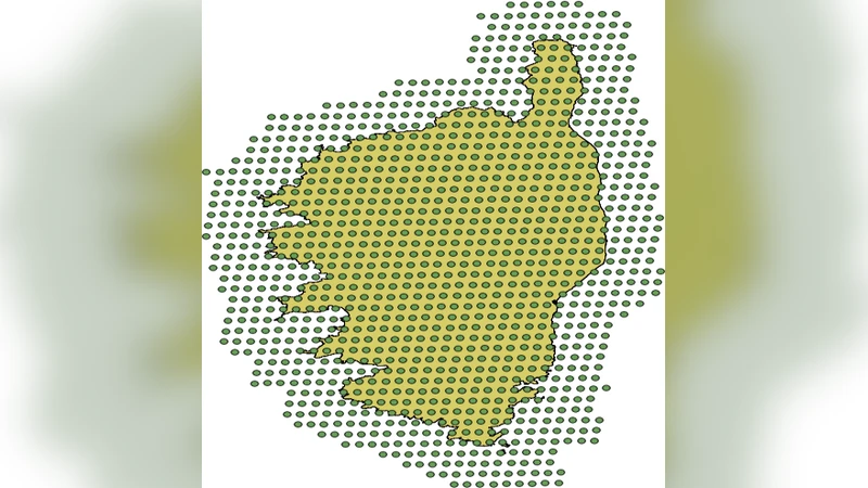
When a territory is poorly instrumented, geostationary satellites data can be useful to predict global solar radiation. In this paper, we use geostationary satellites data to generate 2-D time series of solar radiation for the next hour. The results presented in this paper relate to a particular territory, the Corsica Island, but as data used are available for the entire surface of the globe, our method can be easily exploited to another place. Indeed 2-D hourly time series are extracted from the HelioClim-3 surface solar irradiation database treated by the Heliosat-2 model. Each point of the map have been used as training data and inputs of artificial neural networks (ANN) and as inputs for two persistence models (scaled or not). Comparisons between these models and clear sky estimations were proceeded to evaluate the performances. We found a normalized root mean square error (nRMSE) close to 16.5% for the two best predictors (scaled persistence and ANN) equivalent to 35-45% related to ground measurements. Finally in order to validate our 2-D predictions maps, we introduce a new error metric called the gamma index which is a criterion for comparing data from two matrixes in medical physics. As first results, we found that in winter and spring, scaled persistence gives the best results (gamma index test passing rate is respectively 67.7% and 86%), in autumn simple persistence is the best predictor (95.3%) and ANN is the best in summer (99.8%).
💡 Research Summary
The paper presents a novel framework for forecasting hourly, two‑dimensional (2‑D) global solar radiation using geostationary satellite observations. The study focuses on Corsica Island as a test case, but the methodology is applicable worldwide because the underlying HelioClim‑3 database, processed with the Heliosat‑2 model, provides surface solar irradiation estimates for the entire globe. Each pixel (approximately 1 km²) of the satellite‑derived map is treated as an independent time‑series observation, yielding a dense grid of hourly radiation values that can be used for short‑term forecasting.
Three predictive approaches are compared. The first is a simple persistence model that assumes the current hour’s radiation will repeat in the next hour. The second, termed scaled persistence, adjusts the previous day’s same‑hour value by a scaling factor derived from clear‑sky conditions, thereby accounting for diurnal and seasonal trends. The third approach employs an artificial neural network (ANN) with a multilayer perceptron architecture; inputs include the previous hour’s radiation, cloud index, and the corresponding value from the previous day. The ANN is trained using back‑propagation with cross‑validation to avoid over‑fitting, and regularization techniques such as dropout are applied.
Performance is evaluated with two metrics. Normalized root‑mean‑square error (nRMSE) quantifies overall accuracy, while a gamma‑index (γ‑index) borrowed from medical physics assesses spatial agreement between predicted and observed radiation fields. The γ‑index simultaneously considers a permissible intensity difference (ΔI) and a spatial tolerance (Δr); a prediction passes if both criteria are satisfied, providing a more holistic measure of map quality than point‑wise errors alone.
Results show that scaled persistence and the ANN achieve the best nRMSE of roughly 16.5 %, corresponding to a 35–45 % error relative to ground‑based measurements—a respectable level given the global nature of the data. Seasonal analysis using the γ‑index reveals distinct model strengths: scaled persistence excels in winter (67.7 % pass rate) and spring (86 %), simple persistence dominates in autumn (95.3 %), and the ANN attains near‑perfect performance in summer (99.8 %). These findings reflect the varying cloud dynamics and radiation variability across seasons; the ANN’s nonlinear capability is most beneficial when rapid changes occur (summer), whereas persistence‑based methods suffice when atmospheric conditions evolve more slowly.
The study demonstrates that geostationary satellite data can generate reliable, real‑time 2‑D solar radiation forecasts even in poorly instrumented regions, and introduces the γ‑index as an effective tool for validating spatially distributed predictions. Future work is suggested to incorporate higher‑resolution satellite products, deeper learning architectures, and multimodal inputs (e.g., atmospheric profiles) to further improve forecast skill and to extend the approach to other renewable‑energy‑relevant variables.