A method to establish GPS grid ionospheric correction model
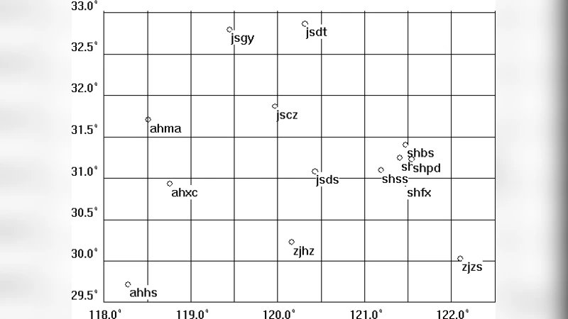
The ionospheric influence is one of the largest error sources in GPS positioning and navigation after closing the Selective Availability (SA). Therefore, it is available to establish a real time ionospheric correction model to eliminate or mitigate the ionospheric influence. In this paper, a new method, Hardy Function Interpolation method, is presented to establish a high precision grid ionospheric model (GIM) over the Yangtze River Delta using continuous GPS data of SIGAN network, and the internal and external accuracy of TEC from the GIM are evaluated. It has shown that the real time and high precision GIM over the Yangtze River delta is well established using the Hardy Function Interpolation. The internal and external accuracy of TEC from the GIM are all smaller than 0.3m and better than the methods of distance weight function of WAAS and spherical harmonic function. In addition, these methods are further used to initially investigate and analyze the seasonal variations of TEC over Yangtze River delta.
💡 Research Summary
The paper addresses the persistent problem of ionospheric delay, one of the largest error sources in high‑precision GPS positioning after the discontinuation of Selective Availability. To mitigate this error, the authors propose a regional grid ionospheric model (GIM) for the Yangtze River Delta that is generated in real time using continuous dual‑frequency GPS observations from the Shanghai Integrated GPS Application Network (SIGAN). The novelty lies in applying the Hardy Function Interpolation (HFI) method—a kernel‑based spatial interpolation originally developed for crustal deformation studies—to estimate vertical total electron content (VTEC) on a dense 0.2° × 0.2° grid.
The ionosphere is modeled as a thin spherical shell at 350 km altitude. For each grid node (latitude B_i, longitude L_i) a core function Q(L,B)=
Comments & Academic Discussion
Loading comments...
Leave a Comment