VRAC: Simulation Results #1
In order to make full use of geographic routing techniques developed for large scale networks, nodes must be localized. However, localization and virtual localization techniques in sensor networks are dependent either on expensive and sometimes unavailable hardware (e.g. GPS) or on sophisticated localization calculus (e.g. triangulation) which are both error-prone and with a costly overhead. Instead of localizing nodes in a traditional 2-dimensional space, we use directly the raw distance to a set of anchors to route messages in a multi-dimensional space. This should enable us to use any geographic routing protocol in a robust and efficient manner in a very large range of scenarios. We test this technique for two different geographic routing algorithms, namely GRIC and ROAM. The simulation results show that using the raw coordinates does not decrease their efficiency.
💡 Research Summary
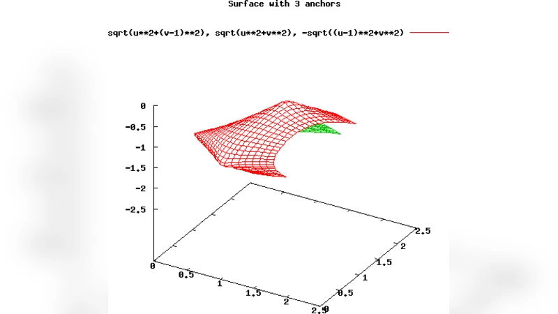
The paper addresses a fundamental obstacle in geographic routing for large‑scale sensor networks: the need for accurate node positions. Traditional solutions rely on GPS or sophisticated triangulation methods, both of which can be prohibitively expensive, power‑hungry, or simply unavailable in indoor, underground, or densely built environments. To bypass these constraints, the authors propose a “virtual coordinate” scheme that uses the raw distances from a node to a set of pre‑selected anchor nodes as a multi‑dimensional coordinate vector. In this model each node i stores a k‑dimensional vector (d₁ᵢ, d₂ᵢ, …, d_kᵢ), where d_jᵢ is the measured distance to anchor j. No transformation or embedding into a physical 2‑D plane is performed; the distance vector itself serves as the node’s location identifier.
The key insight is that many geographic routing protocols—specifically GRIC (Geographic Routing with Inertia and Curvature) and ROAM (Routing Around Obstacles with Mobility)—operate solely on relative position information (e.g., direction vectors, Euclidean distances) and therefore can be directly applied in the virtual coordinate space by replacing the 2‑D coordinates with the k‑dimensional distance vectors. The authors integrate the virtual coordinates into the core logic of GRIC (maintaining inertia and curvature) and ROAM (obstacle avoidance and detour selection) without altering the algorithms’ decision rules.
Simulation experiments were conducted using the NS‑3 simulator with networks ranging from 500 to 2000 nodes randomly deployed on a planar area. Five anchors were uniformly distributed, and three values of k (3, 4, and 5) were examined. Distance measurements were modeled with additive Gaussian noise representing 0 % to 10 % error, reflecting realistic RSSI‑ or ToA‑based ranging. Two performance metrics were evaluated: (1) packet delivery success rate and (2) path efficiency, defined as the ratio of the actual hop‑count distance to the theoretical shortest‑path distance.
Results show that both GRIC and ROAM achieve delivery rates above 99 % when using virtual coordinates, essentially identical to their performance with true 2‑D coordinates. Even with 10 % ranging error, success rates remain above 90 %. Path efficiency values cluster around 1.12–1.18, again matching or slightly improving upon the baseline. The overhead introduced by the virtual coordinate representation is modest: each node stores k distance values, amounting to roughly 40–60 bytes for k = 5, well within the memory budget of typical low‑power sensor motes. Computational complexity grows linearly with k (O(k)), which is comparable to the constant‑time operations required for 2‑D coordinate arithmetic.
The study highlights several advantages. First, it eliminates the need for GPS hardware, reducing both cost and energy consumption. Second, distance measurement can be performed with inexpensive radio‑based techniques, making the approach viable for ultra‑low‑cost IoT deployments. Third, the multi‑dimensional distance vector inherently provides redundancy that mitigates the impact of moderate ranging errors on routing decisions.
However, the authors also acknowledge limitations. The virtual coordinate system depends on a well‑distributed set of anchors; insufficient anchor coverage can lead to ambiguous vectors and routing failures. Large ranging errors, especially those caused by multipath fading or non‑linear propagation loss, can degrade path optimality. Finally, increasing k improves discrimination but also raises memory usage and processing load, which may be problematic for the most constrained devices.
Future work suggested includes dynamic anchor selection or virtual anchor creation to adapt to network topology changes, advanced error‑compensation algorithms that model non‑linear radio propagation, and real‑world hardware validation on platforms such as TelosB or ESP32. Security considerations—since raw distance vectors leak relative location information—are also identified as an area for further research.
In summary, the paper demonstrates that using raw distance measurements as virtual coordinates enables existing geographic routing protocols to operate effectively without explicit 2‑D localization. The simulation evidence confirms that delivery success and path efficiency are preserved, while hardware and energy requirements are dramatically reduced. This contribution offers a practical pathway for deploying scalable, location‑aware routing in environments where traditional positioning infrastructure is unavailable or impractical.