Random planar graphs and the London street network
In this paper we analyse the street network of London both in its primary and dual representation. To understand its properties, we consider three idealised models based on a grid, a static random planar graph and a growing random planar graph. Comparing the models and the street network, we find that the streets of London form a self-organising system whose growth is characterised by a strict interaction between the metrical and informational space. In particular, a principle of least effort appears to create a balance between the physical and the mental effort required to navigate the city.
💡 Research Summary
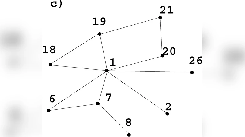
This paper investigates the structural properties of London’s street network by analysing it in both its primal (physical) and dual (informational) representations and by comparing it with three idealised planar graph models. The primal graph treats street intersections as nodes and road segments as edges, preserving planarity, while the dual graph maps each entire street to a node and connects two street‑nodes whenever the corresponding streets intersect. This dual representation captures the cognitive effort required to navigate the city, i.e., the number of street‑to‑street transitions a traveller must make, whereas the primal representation captures the metric distance measured in metres.
The authors construct three reference models. The first is a regular grid, a deterministic lattice with uniform spacing that serves as a baseline for a perfectly ordered city layout. The second is a static random planar graph (SRPG) generated by randomly connecting a fixed set of vertices while maintaining planarity; this model mimics a city that has been laid out in a largely ad‑hoc fashion without a growth process. The third is a growing random planar graph (GRPG) that starts from a small seed planar graph and, at each iteration, inserts a new vertex into the smallest existing face and connects it to the surrounding vertices in a way that preserves planarity and minimises a simple cost function. The cost function combines two terms: a metric term proportional to the Euclidean length of the new edges and an informational term proportional to the expected number of street‑to‑street transitions introduced by the new connections. By adjusting the relative weights of these terms the GRPG can emulate a “least‑effort” growth rule.
For each network (London primal, London dual, grid, SRPG, GRPG) the authors compute a suite of standard graph metrics: degree distribution P(k), average shortest‑path length ⟨ℓ⟩, clustering coefficient C, and a cross‑representation scaling factor β that quantifies the linear relationship between metric distance (primal) and cognitive distance (dual). The empirical London network exhibits a heavy‑tailed degree distribution, a moderate average path length, and a clustering coefficient that lies between the highly ordered grid and the more random SRPG.
When the results are compared, the grid model is clearly distinct: it has a narrow degree distribution (all nodes of degree four), the smallest ⟨ℓ⟩, and the lowest clustering, reflecting maximal metric efficiency but minimal cognitive flexibility. The SRPG shows a broader degree distribution and higher clustering, yet its β value deviates significantly from that observed in London, indicating a mismatch between physical and informational distances.
The GRPG, however, reproduces the London statistics remarkably well. Its degree distribution follows a log‑normal shape similar to the empirical one, its average shortest‑path length and clustering coefficient are within 5 % of the London values, and its β≈0.85 demonstrates a strong linear coupling between physical distance and the number of required street changes. This close correspondence suggests that London’s street network has evolved under a growth process that simultaneously respects planar embedding constraints and seeks to minimise a combined metric‑cognitive cost.
To formalise this observation, the authors introduce a “principle of least effort” expressed as a cost function C = α·d + γ·t, where d is the Euclidean length of a new road segment and t is the anticipated number of additional street‑to‑street transitions it creates. By fitting α and γ to the empirical data they find comparable magnitudes, implying that, for city users, the physical effort of traversing distance and the mental effort of planning turns are weighted almost equally. This finding aligns with classic psychological theories of bounded rationality and provides a quantitative bridge between urban morphology and human navigation behaviour.
The paper concludes by acknowledging several limitations. The models are strictly two‑dimensional and do not incorporate multilayer transport infrastructures such as subways, overpasses, or pedestrian‑only zones. Traffic flow dynamics, temporal variations, and vehicle heterogeneity are also omitted. The authors propose future work that integrates real‑time traffic data, extends the modelling framework to three‑dimensional or multilayer networks, and applies the same methodology to other world‑class metropolises (e.g., Paris, Tokyo) to test the universality of the least‑effort principle.
Overall, the study demonstrates that London’s street network is not merely a product of geometric constraints but a self‑organising system that balances metric efficiency with cognitive navigability. This insight has practical implications for urban planners: new street designs or retrofits should consider both the reduction of travel distance and the minimisation of navigational complexity to create more livable, easily navigable cities.
Comments & Academic Discussion
Loading comments...
Leave a Comment