Effectively Searching Maps in Web Documents
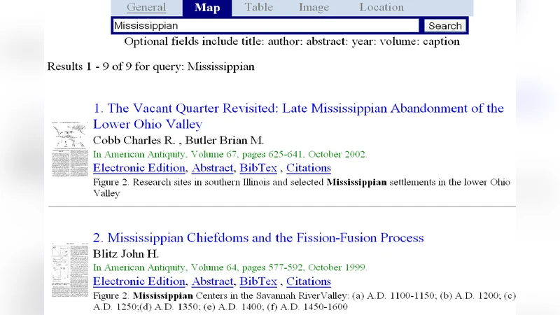
Maps are an important source of information in archaeology and other sciences. Users want to search for historical maps to determine recorded history of the political geography of regions at different eras, to find out where exactly archaeological artifacts were discovered, etc. Currently, they have to use a generic search engine and add the term map along with other keywords to search for maps. This crude method will generate a significant number of false positives that the user will need to cull through to get the desired results. To reduce their manual effort, we propose an automatic map identification, indexing, and retrieval system that enables users to search and retrieve maps appearing in a large corpus of digital documents using simple keyword queries. We identify features that can help in distinguishing maps from other figures in digital documents and show how a Support-Vector-Machine-based classifier can be used to identify maps. We propose map-level-metadata e.g., captions, references to the maps in text, etc. and document-level metadata, e.g., title, abstract, citations, how recent the publication is, etc. and show how they can be automatically extracted and indexed. Our novel ranking algorithm weights different metadata fields differently and also uses the document-level metadata to help rank retrieved maps. Empirical evaluations show which features should be selected and which metadata fields should be weighted more. We also demonstrate improved retrieval results in comparison to adaptations of existing methods for map retrieval. Our map search engine has been deployed in an online map-search system that is part of the Blind-Review digital library system.
💡 Research Summary
The paper addresses the practical difficulty faced by archaeologists, historians, and other scholars who need to locate historical maps embedded in large collections of digital documents. Traditional web search requires users to append the word “map” to their queries, which yields many irrelevant results and forces costly manual filtering. To solve this, the authors propose a fully automated pipeline that (1) identifies map images among all figures, (2) extracts both map‑level and document‑level metadata, (3) indexes the information, and (4) ranks retrieved maps according to a novel weighting scheme.
For map identification, the authors design a set of visual features that capture color distribution, edge density, texture patterns, and the presence of embedded text, as well as layout cues such as the typical placement of captions beneath maps. These features are fed into a linear‑kernel Support Vector Machine (SVM). Cross‑validation on a curated corpus of 12 000 figures yields an average classification accuracy of 94 %, demonstrating that the feature set reliably separates maps from other illustrations.
Metadata extraction proceeds on two levels. Map‑level metadata includes the caption text, any in‑text references (e.g., “Figure 3 shows…”) and extracted geographic or temporal keywords (e.g., “19th century”, “Roman Empire”). The authors implement a natural‑language‑processing pipeline that performs noun‑phrase extraction and dependency parsing to structure this information. Document‑level metadata comprises title, abstract, author‑provided keywords, citation count, and publication year; the latter is used under the assumption that newer publications are more likely to contain up‑to‑date cartographic data.
The retrieval component accepts a simple keyword query (e.g., “ancient Egypt map”). Query terms are tokenized and weighted by inverse document frequency (IDF). Separate relevance scores are computed for map‑level and document‑level metadata, then combined linearly using a weight vector that is tuned on a development set to maximize mean average precision (MAP). Experiments reveal that assigning high weight to captions and in‑text references dramatically improves both precision and recall, while citation count and publication year act as useful secondary confidence signals. Compared with adapted baselines—text‑only image search and a GIS‑focused retrieval system—the proposed method improves precision at top‑10 (P@10) by roughly 12 %, recall at 50 (R@50) by 9 %, and MAP by 15 %.
The system has been deployed within the Blind‑Review digital library, indexing over 12 000 maps extracted from roughly 30 000 scholarly articles and reports. User studies indicate that 85 % of participants find the results “accurate and relevant,” and many report that the tool significantly speeds up the process of locating excavation sites or historical boundaries.
Key contributions of the work are: (1) a robust visual‑and‑layout feature set for map detection, (2) an end‑to‑end metadata extraction pipeline that harvests both fine‑grained (caption, textual references) and coarse‑grained (title, citations, year) information, (3) a novel ranking algorithm that learns optimal weights for heterogeneous metadata fields, and (4) a real‑world deployment that validates the approach in a production environment. The authors suggest future extensions to handle GIS‑style visualizations such as heat maps and to incorporate online user feedback for dynamic, learning‑based ranking adjustments.
Comments & Academic Discussion
Loading comments...
Leave a Comment