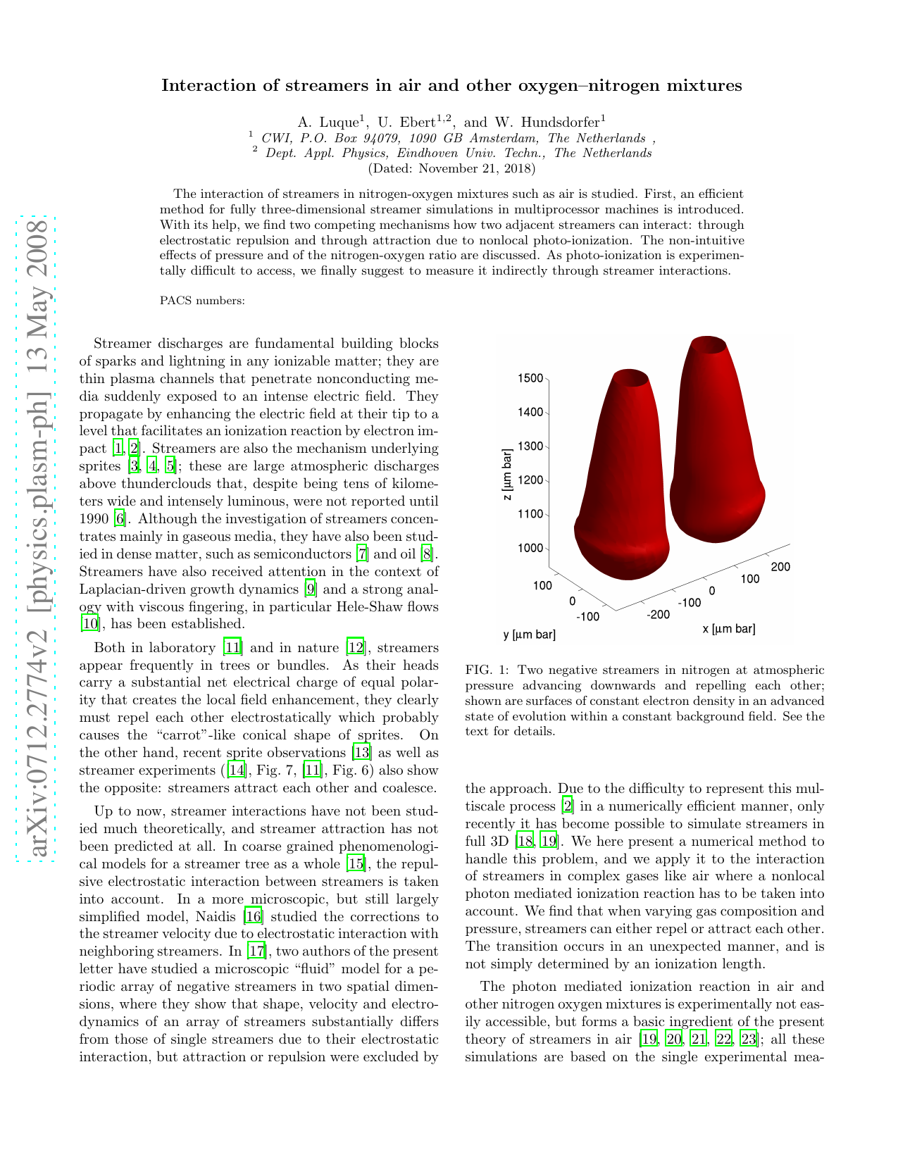
No Image
A GOES imager-derived microburst product
A new multispectral Geostationary Operational Environmental Satellite (GOES) imager product has been developed to assess downburst potential over the western United States employing brightness temperature differences (BTD) between band 3 (upper level water vapor), band 4 (longwave infrared window),
Physics